mapshaper Docs
Web app GitHub Become a sponsor
  • Home
  • What's new
  • Command reference
  • Gallery

Getting started

  • The command-line tool
  • The web app

Examples

  • Basics
  • Globe locator map
  • U.S. state map
  • New York map

Guides

  • Simplification
  • Styles and symbols
  • JavaScript expressions
  • Map projections
  • Topology and cleaning
  • Combining two layers
  • Preparing data for web maps
  • Using Mapshaper from Node.js

Formats

  • Overview
  • Shapefile
  • GeoJSON
  • TopoJSON
  • GeoPackage
  • GeoParquet
  • FlatGeobuf
  • KML / KMZ
  • CSV / TSV
  • JSON records
  • DBF
  • SVG
  • Mapshaper snapshot

Gallery

A collection of example maps made with Mapshaper. Each tile links to its own page with the recipe, the source data, and a link to open the finished map in the web app.
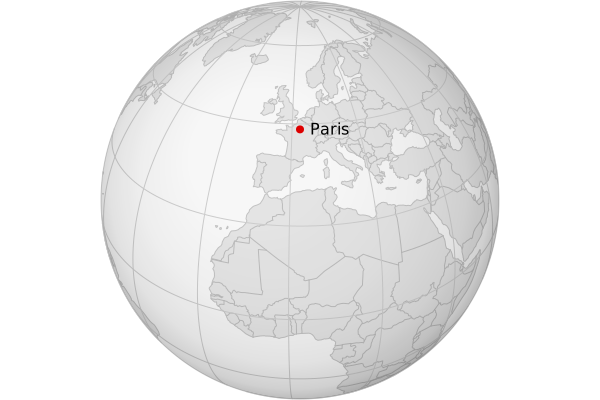
Globe locator map
Globe locator map
A simple locator map in the shape of a globe.
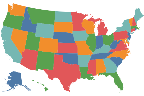
U.S. state map
U.S. state map
Simple U.S. state map with random, non-adjacent colors
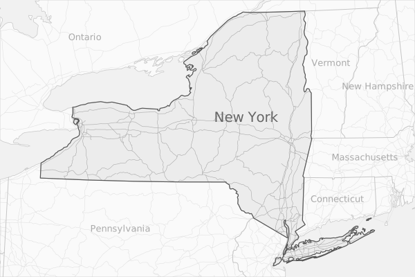
New York State map
New York State map
Map of New York and surrounding states, with labels
Edit this page on GitHub
mapshaper is free software, licensed under MPL 2.0. Privacy · Terms · Support mapshaper