Canyon relief
Difficulty: easy
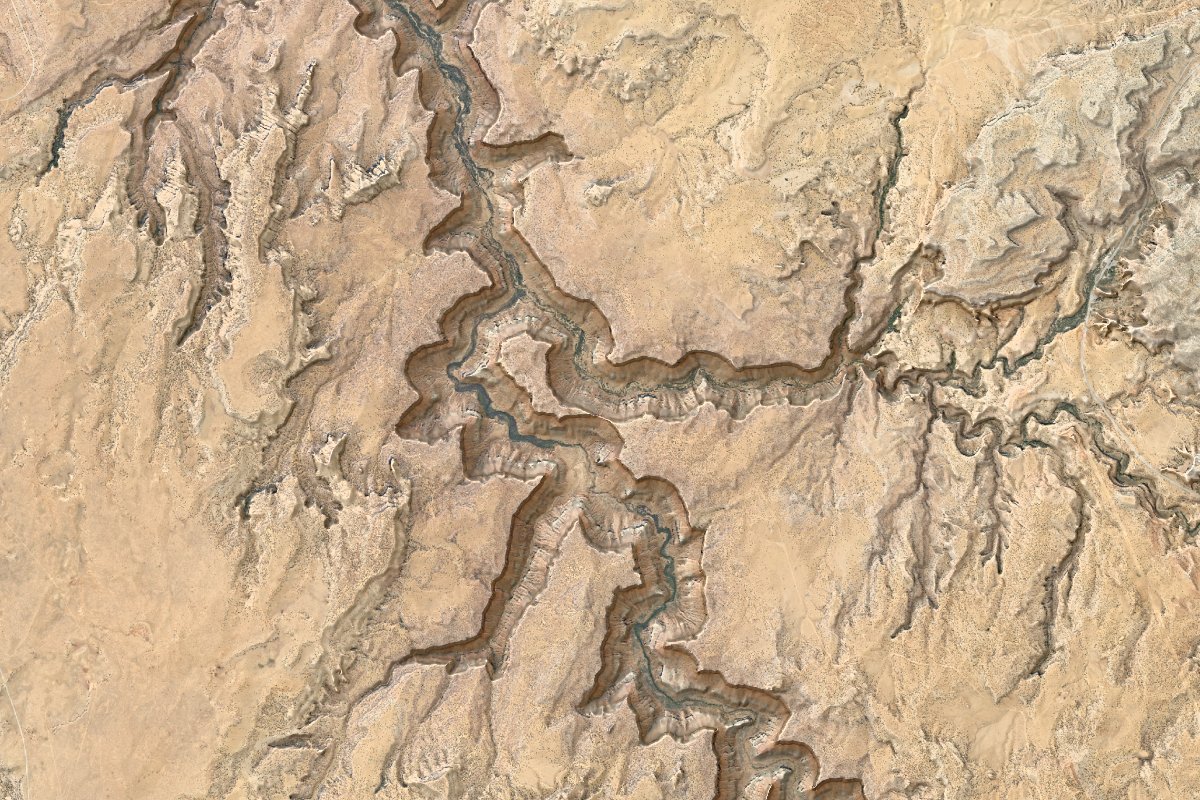
Steps
- Create a map frame with the desired extent, projection and output size, e.g. by drawing a rectangle over Mapshaper's built-in basemap and running
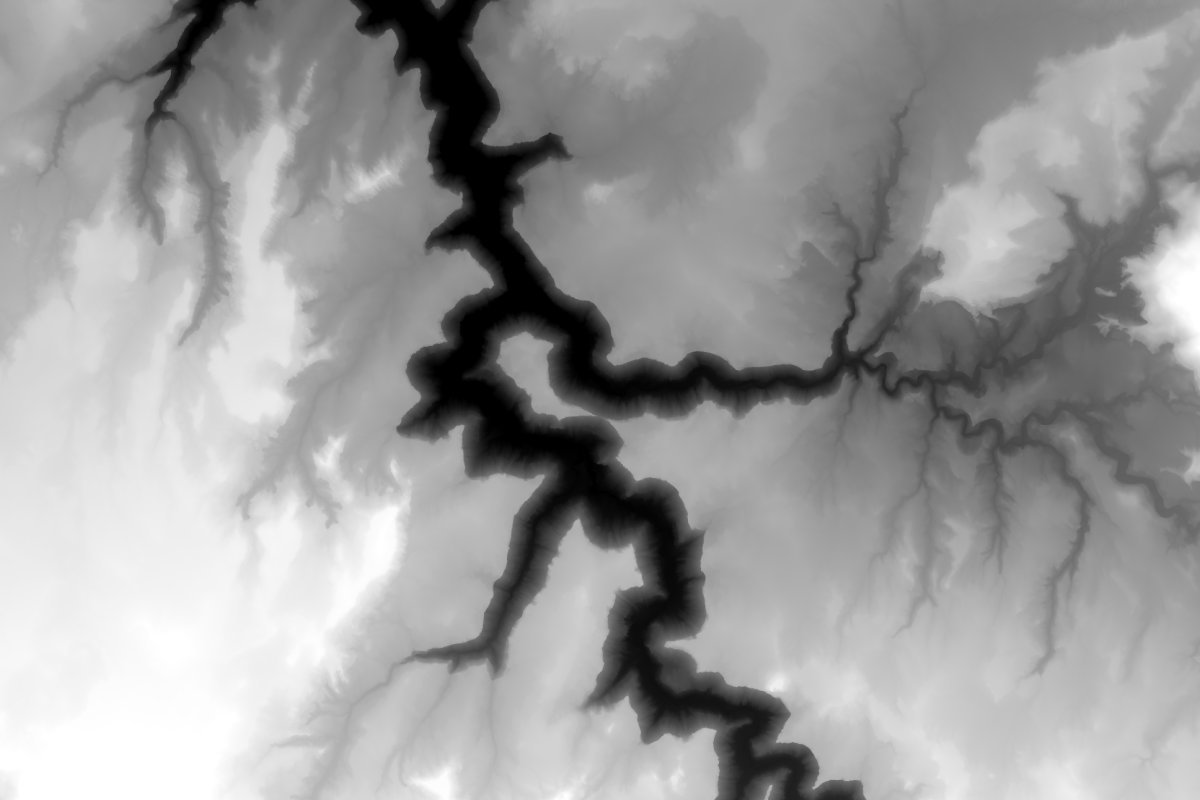
-proj mercfor the Mercator projection (generally appropriate for smaller areas), then clicking "+ New frame" in the web UI. - Load a DEM (
-fetch 3dep-1m).
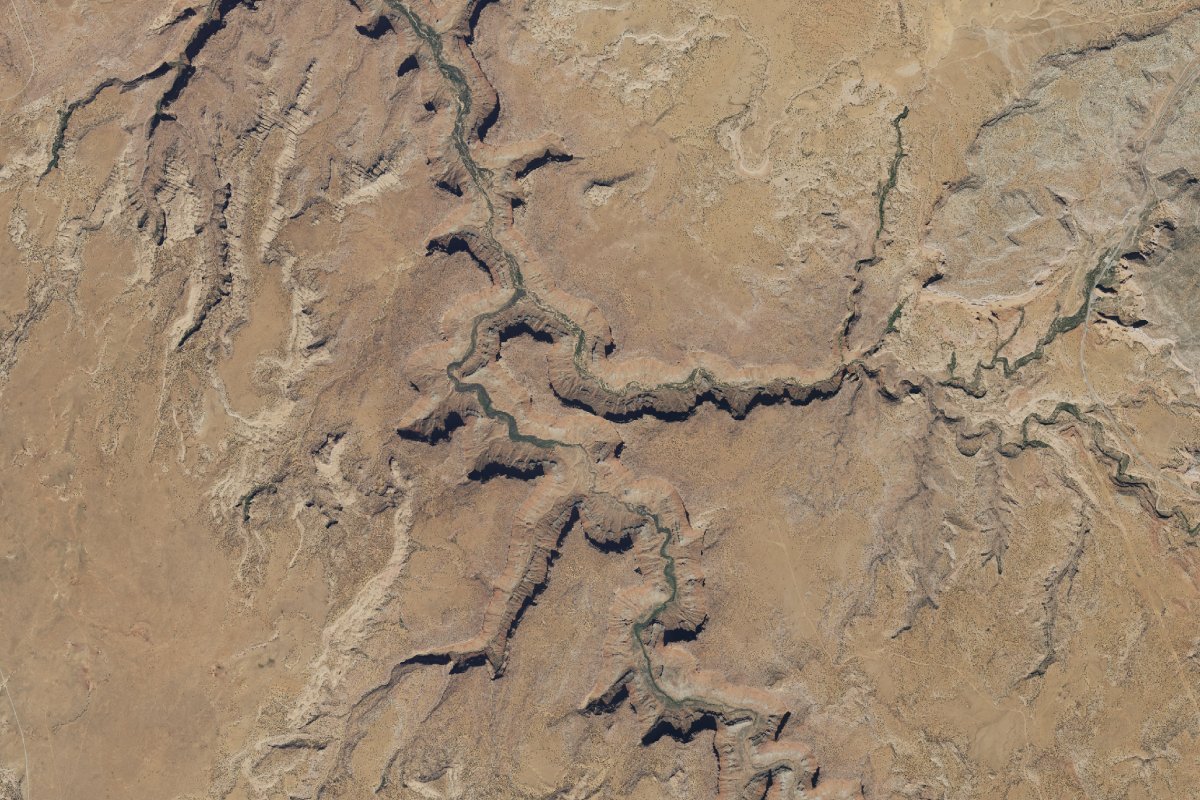
- Load imagery (
-fetch naip).
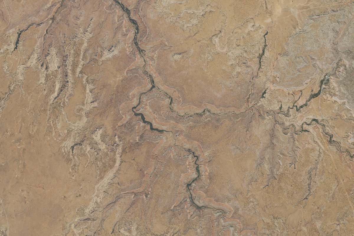
- Remove shadows from the aerial image (requires a DEM) (
-deshadow dem=3dep-1m).
- Adjust the color of the imagery (the sliders in the web UI make this easy) (
-tone lightness=1.49 saturation=1.18 contrast=1.23 hue-shift=0.25)
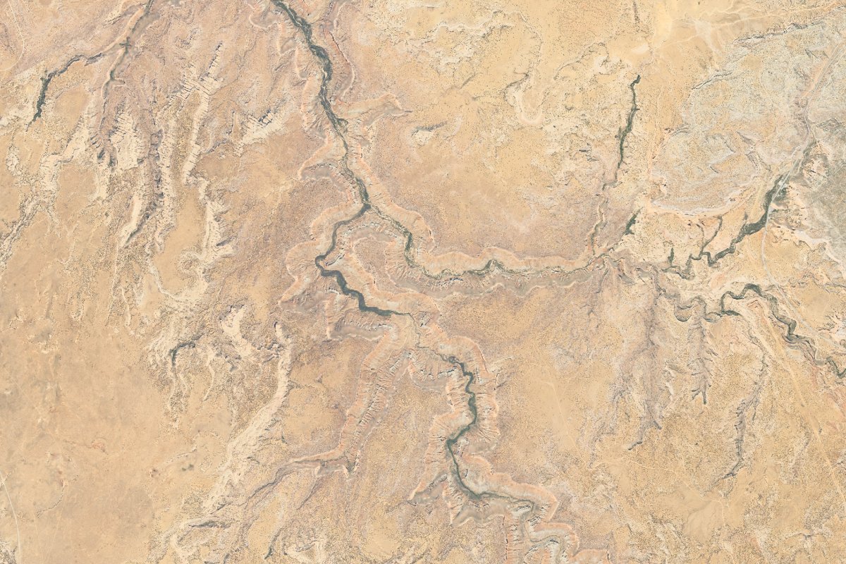
- Create the hillshade (
-target 3dep-1m -hillshade ambient=0.7 texture=0.1)
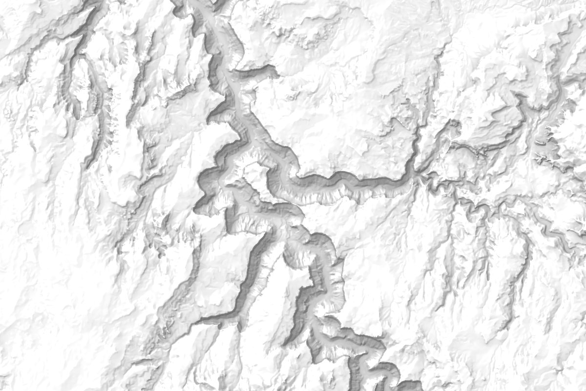
- Blend the hillshade and the imagery, sharpen a bit (the blend panel in the web UI lets you set blending parameters interactively) (
-blend 3dep-1m strength=1.15,)1 chroma=0.9, 1 -sharpen 0.25